# 28.04.-01.05.2023 Zittauer Gebirge


# 01.05.2023

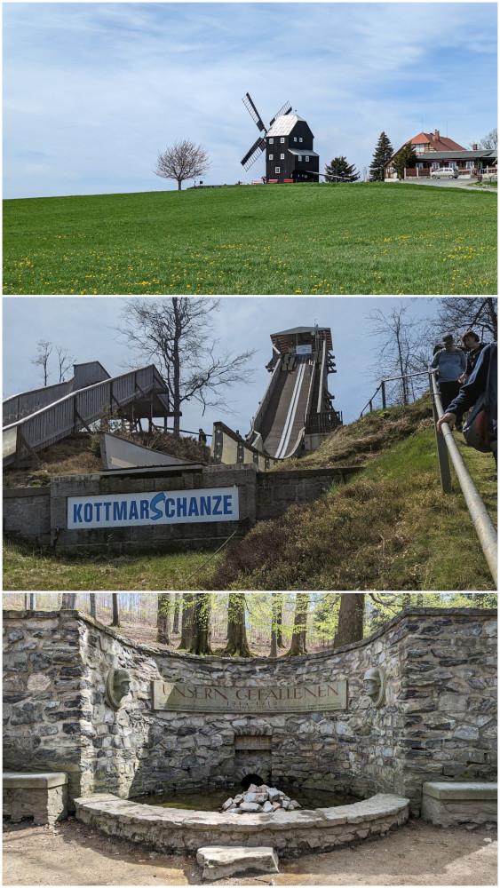
**Route (ca. 14 km):** Rundwanderung ab Ebersbach zur Spreequelle und Bockwindmühle Kottmarsdorf

Informationen:

- <span style="font-size: 12.0pt; font-family: 'Calibri',sans-serif; mso-fareast-font-family: 'Times New Roman'; color: black; mso-ansi-language: DE; mso-fareast-language: DE; mso-bidi-language: AR-SA;">[https://www.gemeinde-kottmar.de/de/Bockwindmuehle-Kottmarsdorf/](https://www.gemeinde-kottmar.de/de/Bockwindmuehle-Kottmarsdorf/)</span>

<span style="font-size: 12.0pt; font-family: 'Calibri',sans-serif; mso-fareast-font-family: 'Times New Roman'; color: black; mso-ansi-language: DE; mso-fareast-language: DE; mso-bidi-language: AR-SA;">[![20260726_173014-COLLAGE.jpg](https://fsd-bsg.de/uploads/images/gallery/2026-07/scaled-1680-/0LZMJ1wosuJsTmbB-20260726-173014-collage.jpg)](https://fsd-bsg.de/uploads/images/gallery/2026-07/0LZMJ1wosuJsTmbB-20260726-173014-collage.jpg)</span>

# 30.04.2023

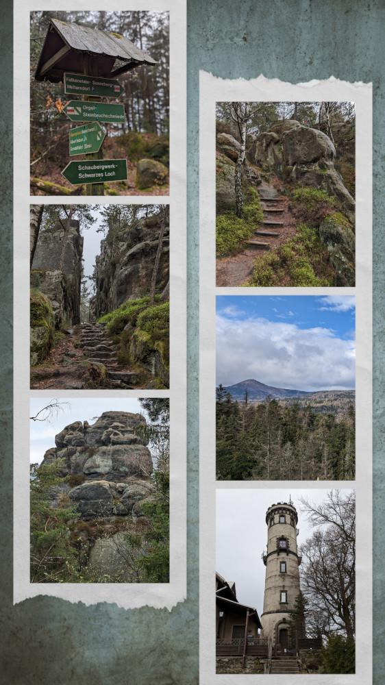
**Route (ca. 13 km):** Besteigung Oybin, danach über Scharfenstein, Töpfer und Marienhütte zum Bahnhof Oybin zurück

[![20230430_180325-COLLAGE.jpg](https://fsd-bsg.de/uploads/images/gallery/2026-07/scaled-1680-/MxPUlGNhPglGDOHb-20230430-180325-collage.jpg)](https://fsd-bsg.de/uploads/images/gallery/2026-07/MxPUlGNhPglGDOHb-20230430-180325-collage.jpg)
# 29.04.2023

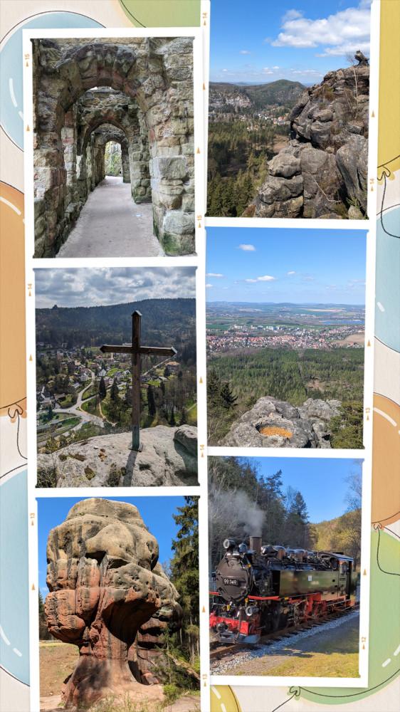
**Route (ca. 16 km):** Wanderparkplatz Oybin - Jonsdorfer Felsenstadt - Hochwaldgipfel - Wanderparkplatz Oybin

[![20230429_223525-COLLAGE.jpg](https://fsd-bsg.de/uploads/images/gallery/2026-07/scaled-1680-/GUdsDObV3nu0u3G8-20230429-223525-collage.jpg)](https://fsd-bsg.de/uploads/images/gallery/2026-07/GUdsDObV3nu0u3G8-20230429-223525-collage.jpg)